Hereford to Symonds Yat
Registration
Description
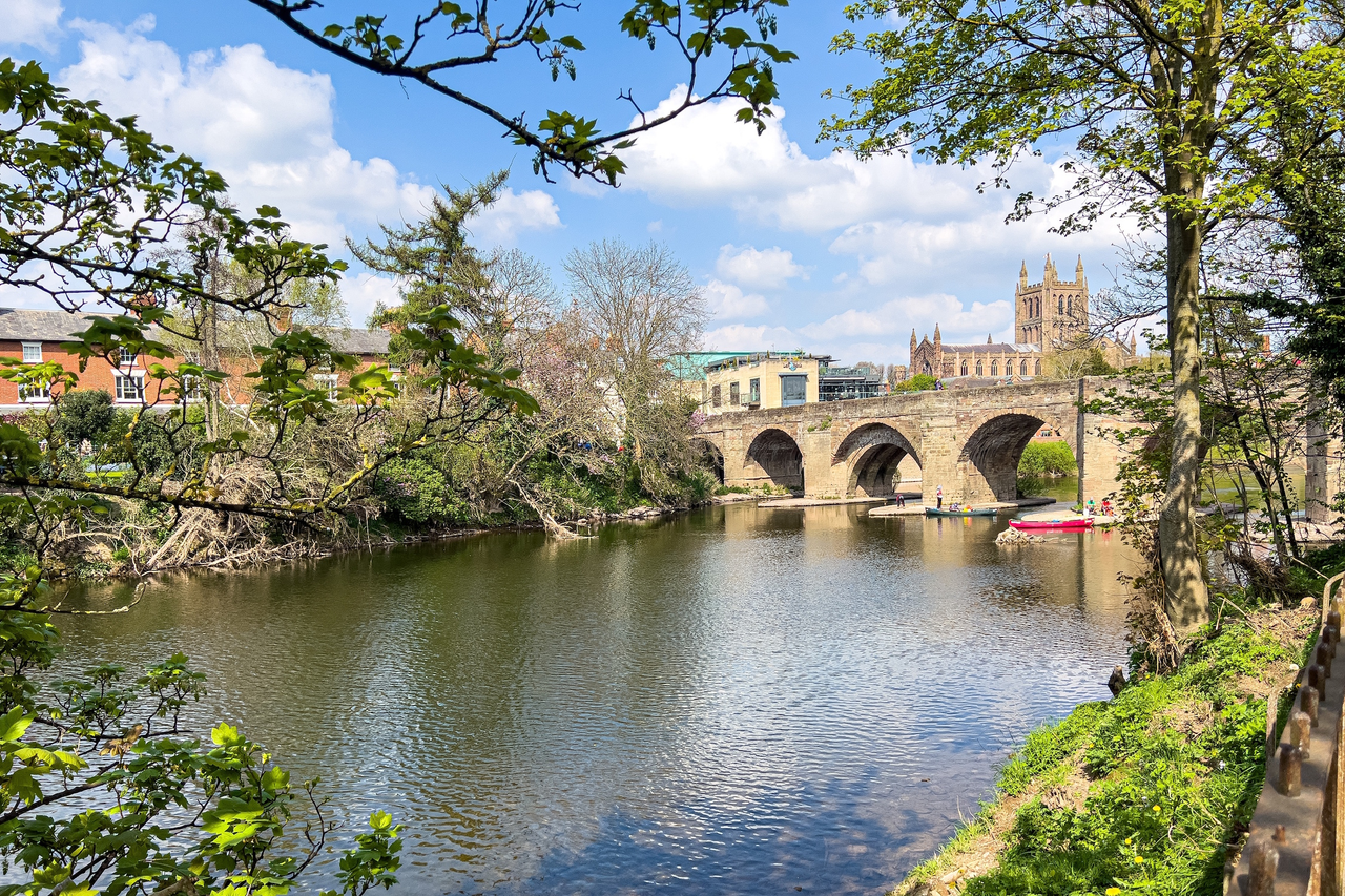
Launching from Hereford rowing club,Hereford grew up around an ancient river crossing, which explains its name, meaning ‘ford of the army.. Among the many places of interest are the cathedral and a medieval chained library, the Old House museum, Museum of Cider, city walls and the old castle site at Castle Green. A variety of river crossings include the disused iron railway bridge at Hunderton, the modern Greyfriars Bridge, the Wye Bridge built in 1490 and the elegant Victorian suspension bridge of 1898.
After leaving Hereford the river winds its way through the countryside for 8 miles until the confluence of the River Lugg on the left then shortly after you pass underneath the Holme Lacy Bridge and you will see Lucksall Caravan Park. There are 2 floating pontoons, exit the river at the first pontoon and report to reception.
Launching from Lucksall Campsite you now start the complete escape from the hustle and bustle of life and can enjoy the scenery of the next two days as traffic wise this is a very quiet stretch of water and you will meander down a beautiful stretch of the River Wye.
Approximately 3.5 miles you pass Mansells ferry fishing croy on your Left.
1 mile on and you’ll see a steep wooded slope on the left bank this leads up to Capler Camp on Iron Age Hill Fort where a variety of birds inhabit the surrounding woods, where Dappled fallow deer may be sighted.
From here the river follows several large meanders, which means you can take things easy and relax passing through a group of Islands and through a demolished railway bridge. This is your signpost that your now 2 miles from the village of Hoarwithy.
The village is also home to the prominent italianate church of St Catherine's Which has featured in at least three films.
From this gorgeous location you travel approximately 2 miles going under Sellack Suspension footbridge, approximately – 1 mile, meandering on you come to the first of two demolished railway bridges on the old Hereford to Gloucester line now your near Strangford.
1 Mile on and the interesting Fawley chapel can be seen on the left bank.
¾ mile – How Caple – and for 2 miles you pass the Salmon Pools which are indicated with fisherman's huts on the bank.
Approximately 1.25 miles on and your nearing Foy passing under the elegant suspension bridge built after an earlier structure was swept away by floods in 1919. Now look out for Foy church on your right.
1.5 miles on and you come to Backney Common look out for a simple metal cross which sits on the bank to commemorate an act of bravery by the Rector of Brampton Abbots in 1904 who died saving his son and daughters friend from drowning. This is where you pass through the 2nd demolished railway bridge and a nice photo can be shot.
As you pass under the main A 40 bridge you come back to reality with Ross on Wye town sitting above the river looking down at you. (This is one of the most popular postcard shots.)
There is one public launch and egress point in Ross-on-Wye, this is set beside The Riverside Pub.
From the public launch below The Riverside Inn the river weaves and passes the 13th century castle on the right bank and flows beneath Wilton bridge (White Lion Pub on right bank)
Approximately 4.5 miles as your leisurely paddling downstream look out for Goodrich Castle an impressive Norman fortification set against the skyline on the right. Your now nearing Kerne Bridge as you pass under the bridge get the front person to look out for the landing stage which is set back approximately 300 yards on left
Facilities – Car park – Picnic Area – Paddle Cafe - The Inn on the Wye is situated through the car park entrance and 200 meters to the left where good food is served and has a lovely terrace garden.
Now your starting one of the most picturesque stretches of water and countryside offering so much to take in. The river twists and turns at a leisurely pace around Coppitt Hill. Wild Deer can sometimes be seen foraging for food by the woods.
Approximately 1 mile on your left you pass a water pumping station with flood lights set in the walls. Not much to look at but a signpost your now starting the long right hand bend taking in all the sites and sounds of the Wye.
Approximately 1.75 miles you come to Lower Lydbrook can’t miss this stop as there’s an Island in the centre of the river. To the left you’ll see the landing point below the steps leading up to the Picnic Area and The Forge Hammer pub – situated up the steps across the T junction approximately 150 meters on your left.
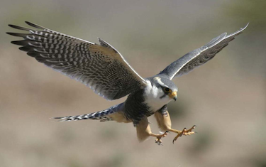
Approximately 3 ½ miles on and your passing directly under the 500 high limestone Yat Rock which is famous as a nesting point for the Peregrine Falcons which if your in luck you’ll see soaring high above you. This also is the beginning of the long loop which meanders towards the A40 and then back again.
A good signpost is Huntsham Bridge which is constructed of Green Metal when passing underneath you’ve 1 mile to paddle to Symonds Yat West. You may see pleasure cruisers carrying people up and down the river.
Proceed past River Wye Caravan and Camping Park, and on past the Amusement Park on your right.
At this point, please be aware of the three large River Cruisers that use this stretch of the river: please give them a wide berth, they will make it clear where they need to go. Meandering on you will see a large boulder in the river on your left, please be aware of people swimming and diving.
Your finish point is at The Paddocks hotel which will be on your right opposite the large boulder. You will see a RED SIGN, please exit the river and report to a member of staff.

